HYDROGRAPHY / BATHYMETRY SURVEY SERVICE
- established bench mark / tide station
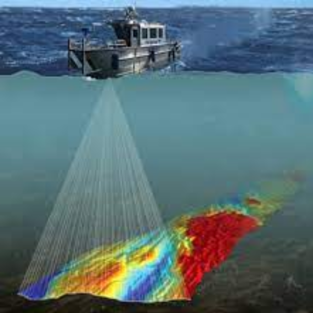
- underwater ground data collection (sonar system)
- longitudinal profile & x section survey (single beam / multi beam)
- contour map generation
- earthwork quantity, cutting / filling
- area calculation
- hydrography / bathymetry survey report
